
Interview questions on "GIS in Flood Mapping"
Twenty MCQ which is common in not only interviews but also in different competetive examinations including GATE
Whenever you're ready, here are three great ways you can support us:
Promote yourself or your organisation by sponsoring this newsletter — we reach an engaged audience with a 30–40% weekly open rate. Please leave a message or contact me directly at mrinmoy@majumdar.info.
Upgrade to a paid membership and unlock exclusive insights and benefits. Click here. (Click here to pay in USD)
Subscribe to the “AIDS in WRD” Podcast on YouTube and stay connected with the latest in the application of AI and DS in water resource research. Click here.

The correct answer is indicated by ✅
If you want to enrol for the forthcoming course on “Introduction to GIS in Hydrology”, then click here.
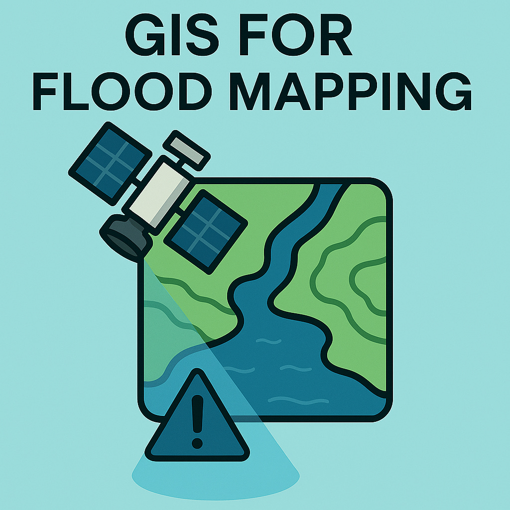
🌊 GIS in Flood Mapping – MCQs with Answers
🧭 Fundamentals & Concepts
What is the primary role of GIS in flood mapping?
Predicting earthquakes
Mapping flood-prone areas ✅
Measuring air pollution
Monitoring traffic flow
Which type of data is most commonly used to model terrain in flood mapping?
Vector data
Tabular data
Digital Elevation Model (DEM) ✅
Text data
Which GIS tool is used to determine the direction of water flow?
Clip
Flow Direction ✅
Buffer
Merge
What does inundation mapping show?
Soil fertility
Areas affected by flooding ✅
Vegetation health
Groundwater levels
Which of the following is a key input for flood modeling in GIS?
Population density
Land use/land cover ✅
Road networks
Temperature data
🛰️ Remote Sensing & Data Sources
Which satellite sensor is commonly used for flood detection?
MODIS ✅
GPS
GOES
IKONOS
Which type of remote sensing is most effective during cloudy flood events?
Optical
Microwave (SAR) ✅
Thermal
Panchromatic
Which of the following is a freely available source of satellite imagery for flood mapping?
QuickBird
Landsat ✅
WorldView
GeoEye
What is the advantage of using SAR data in flood mapping?
High color resolution
Penetrates cloud cover and detects water surfaces ✅
Measures temperature
Detects vegetation only
Which index is used to detect water bodies in satellite imagery?
NDVI
NDWI ✅
SAVI
TWI
Keep reading with a 7-day free trial
Subscribe to Baipatra VSC to keep reading this post and get 7 days of free access to the full post archives.