


Interview questions on Remote Sensing and Image Processing in Hydrology
Twenty MCQ which is common in not only interviews but also in different competetive examinations including GATE
Whenever you're ready, here are three great ways you can support us:
Promote yourself or your organisation by sponsoring this newsletter — we reach an engaged audience with a 30–40% weekly open rate. Please leave a message or contact me directly at mrinmoy@majumdar.info.
Upgrade to a paid membership and unlock exclusive insights and benefits. Click here. (Click here to pay in USD)
Subscribe to the “AIDS in WRD” Podcast on YouTube and stay connected with the latest in the application of AI and DS in water resource research. Click here.
The correct answer is indicated by ✅

If you want to enrol for the forthcoming course on “Introduction to GIS in Hydrology”, then click here.
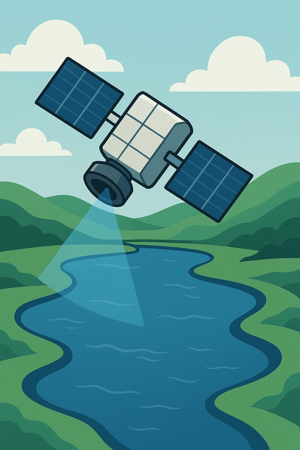
📡 Remote Sensing, Image Processing & Hydrology – MCQs with Answers
🌍 Section 1: Remote Sensing Fundamentals
What is remote sensing?
Measuring objects by physical contact
Observing objects from a distance using sensors ✅
Using GPS to navigate
Mapping underground water
Which of the following is a passive remote sensing system?
Radar
LiDAR
Thermal infrared sensor ✅
SONAR
Which satellite sensor is commonly used for land and water resource monitoring?
MODIS ✅
GPS
INSAT
GOES
Which electromagnetic band is most useful for detecting vegetation health?
Microwave
Near-infrared ✅
Ultraviolet
X-ray
Which satellite provides high-resolution imagery suitable for hydrological modeling?
Landsat 8 ✅
NOAA
INSAT-3D
SPOT
🖼️ Section 2: Image Processing Techniques
What is the purpose of image classification in remote sensing?
To compress images
To convert raster to vector
To categorize land cover types ✅
To enhance image resolution
Which of the following is an unsupervised classification method?
Maximum Likelihood
Support Vector Machine
K-means clustering ✅
Random Forest
What does NDVI stand for?
Normalized Difference Vegetation Index ✅
National Digital Vegetation Index
Normalized Data Visualization Interface
Natural Drainage and Vegetation Index
Which image enhancement technique improves contrast in satellite images?
Histogram equalization ✅
Edge detection
Band ratioing
Resampling
Which software is commonly used for remote sensing image processing?
AutoCAD
ERDAS Imagine ✅
Excel
SPSS
Keep reading with a 7-day free trial
Subscribe to Baipatra VSC to keep reading this post and get 7 days of free access to the full post archives.